Then and Now
Time

Ian Crosher - The Casuals

Maurice and Friends

Very True

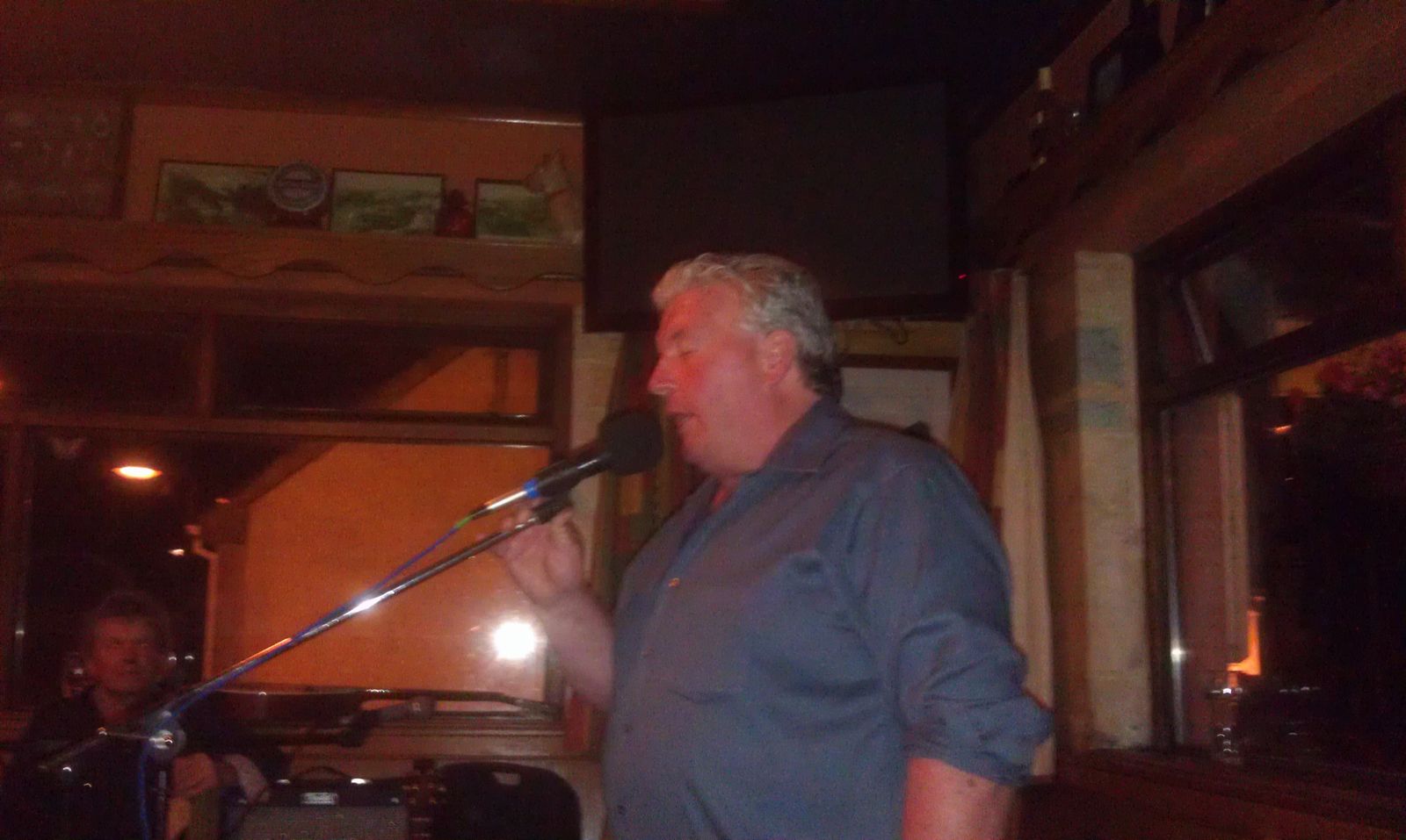
Mike Venner

Phil Pelletier

Jon

Mike and Boris

Douche and the Bags

The Nighthawks Barnet Herts

I.E.

Pat Nethercott

Shag Connor's Carrot Crunchers

Smile

Noel Tyler - RIP
Local

Paul K

Just so Casual...

Motorhead
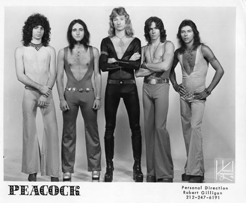
Peacock


Warm and Mellow

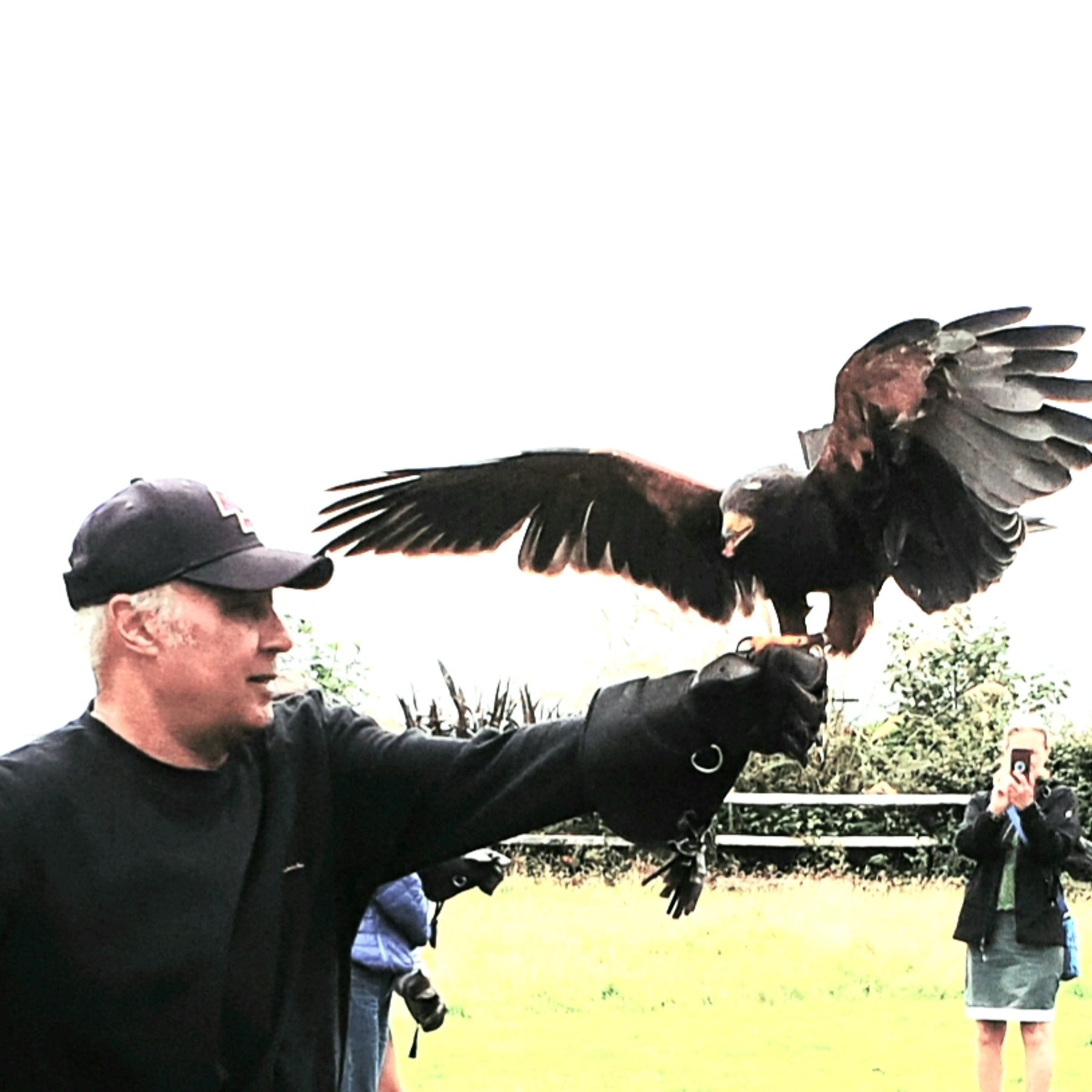
Paul K 1970's OMG !!

The Happy Three!!!
Really nice people
Páidí

Sean the Painter

Mary
Jan

Izzy - France

Boris

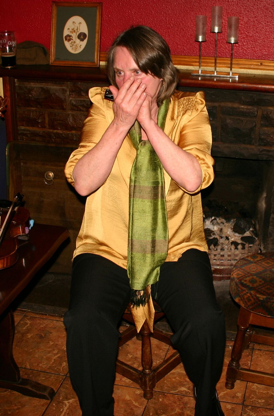
Fiddle Player
Nigel - Last Chance
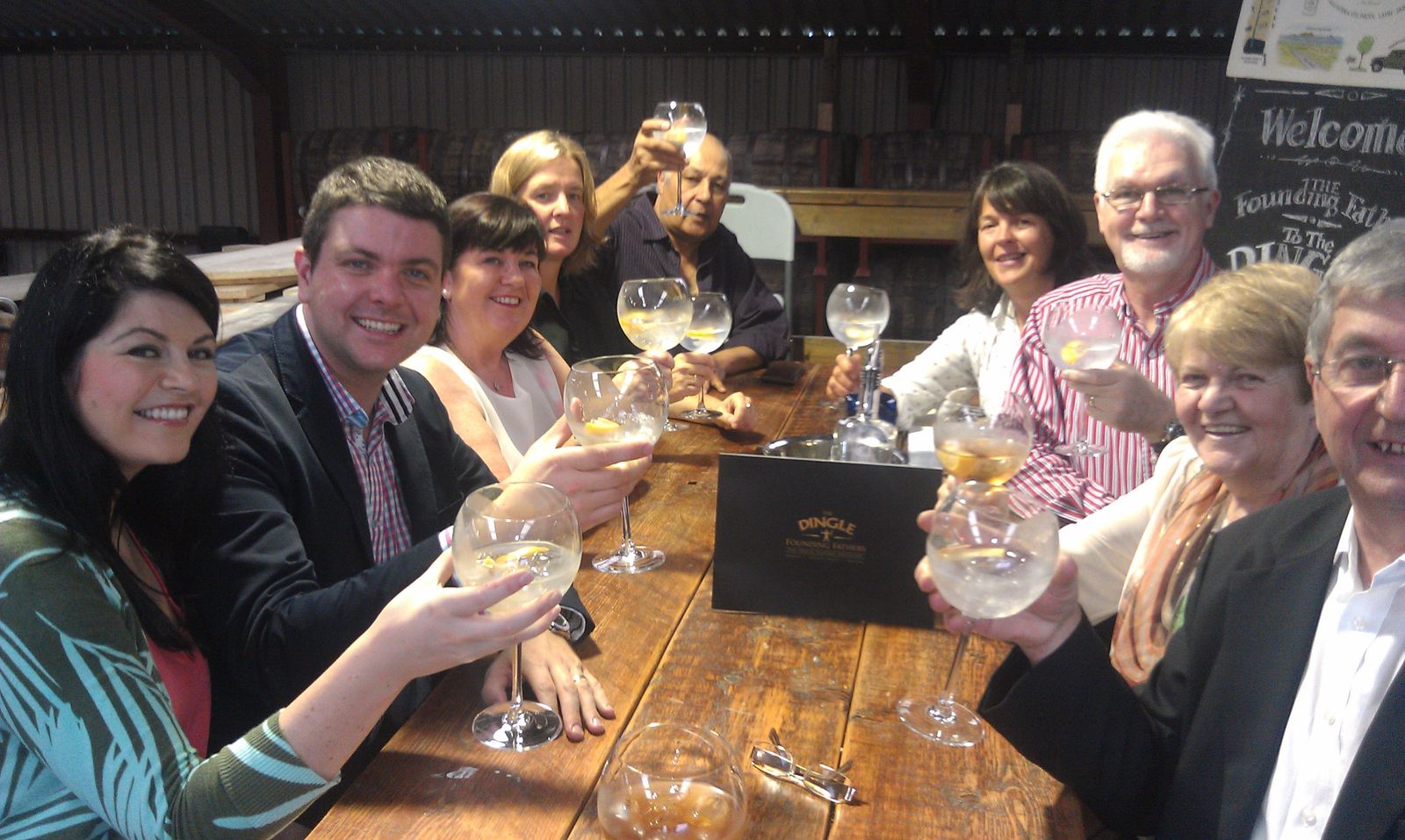
Dingle Whiskey Celebration....

Aideen

Cillian

Steve

Pat - Yorkshire

Camilla and Mike

Andrew - France

Friends in local Bar

Mazz and friends

Gyan- Last Chance

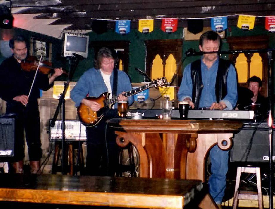
Improvisation @ An Lab

Siobhan

Marian
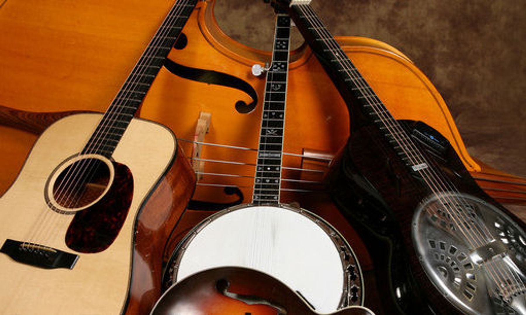
Guitars

Now this is Dancing.........

Our World

Dingle, Gaeltacht, and the Peninsula
Dingle's main street, with brightly painted shops and pubs, welcomes visitors. photo: Pat O’Connor
Be forewarned, Ireland is seductive. Traditions are strong and stress is a foreign word. I fell in love with the friendliest land this side of Sicily.
It all happened in a Gaeltacht. Gaeltacht’s are national parks for the traditional culture, where the government protects the old Irish ways. Shaded green on many maps, these regions brighten the west coast of the Emerald Isle. Gaeltacht means a place where Gaelic (or Irish) is spoken. The Irish culture is more than just the language. You'll find it tilling the rocky fields, singing in the pubs, and lingering in the pride of the small-town preschool that brags "All Gaelic."
The Dingle Peninsula — green, rugged, and untouched — is my favourite Gaeltacht.
While the big tour buses clog the neighbouring Ring of Kerry before heading east to kiss the Blarney Stone, in Dingle it still feels like the fish and the farm actually matter. Fishing boats still sail from Dingle, and a nostalgic whiff of peat scents its night time air, offering visitors an escape into pure Ireland. For 30 years my Irish dreams have been set here, on this sparse but lush peninsula.
Of the peninsula's 10,000 residents, 1,500 live in Dingle Town. Its few streets, lined with ramshackle but gaily painted shops and pubs, run up from a rain-stung harbour r, home to a friendly dolphin. You'll see teenagers — already working on ruddy beer-glow cheeks — roll kegs up the streets and into the pubs in preparation for another night of music and craic (fun conversation and atmosphere).
The Dingle Peninsula is worth exploring by bike or car. It's 10 miles wide and runs 40 miles from Tralee to Slea Head. The top of its mountainous spine is Mount Brandon — at 3,130 feet, the second-tallest mountain in Ireland. While only tiny villages lie west of Dingle Town, the peninsula is home to 500,000 sheep. The weather on this distant tip of Ireland is often misty, foggy, and rainy. But don't complain — as locals will explain, there is no bad weather...only inappropriate clothing.
Leaving Dingle Town by car or bike, it becomes clear that the peninsula is an open-air museum. It's littered with monuments reminding visitors that the town has been the choice of Bronze Age settlers, Dark Age monks, English landlords, and Hollywood directors ("Ryan's Daughter," and "Far and Away").
Some front gardens are decorated with ancient pillar’s of stone — one of more than 2,000 stony pieces in the puzzle of prehistoric life here.
Near the red, two-room schoolhouse, a street sign warns Taisteal go Mall — Slow Down. Near the playground, children hide out in circular remains of a late Stone Age ring fort.
In 500 B.C. it was a petty Celtic chieftain's headquarters, a stone-and-earth stockade filled with little stone houses. Many of these ring forts survived the centuries because of superstitious beliefs that they were "fairy forts."
The wet sod of Dingle is soaked with medieval history. In the darkest depths of the Dark Ages, when literate life almost died in Europe, peace-loving, bookwormish monks fled the chaos of barbarian raids on the Continent. They sailed to this drizzly fringe of the known world and lived their monastic lives in lonely stone igloos or "beehive huts," which you'll see dotting the landscape.
Several groups of these mysterious huts, called clochans, line the road. Built without mortar by seventh-century monks, these huts take you back. Climb into one. You're all alone, surrounded by dank mist and the realization that it was these monks who kept literacy alive in Europe. To give you an idea of their importance, Charlemagne, who ruled much of Europe in the year 800, imported Irish monks to be his scribes.
Rounding Slea Head, the most western point in Europe closest to America, the rugged coastline offers smashing views of deadly black-rock cliffs and the distant Blaskett Islands. The crashing surf races in like white horses, while long-haired sheep graze peacefully on the green hillside.
Study the highest fields, untouched since the planting of 1845, when the potatoes never matured and rotted in the ground. The great famine of that year, through starvation or emigration, nearly halved Ireland's population. Because its endearing people have endured so much, Ireland is called "The Terrible Beauty."
Take your time at the Gallaras Oratory, circa A.D. 800, the sightseeing highlight of your peninsula tour. One of Ireland's best-preserved early Christian churches, its shape is reminiscent of an upturned boat. Its watertight dry-stone walls have sheltered travellers and pilgrims for 1,200 years. From the Oratory, continue up the rugged one-lane road to the crest of the hill, then coast back to Dingle Town — hungry, thirsty, and ready for a pint.
This is view of Mount Brandon, the second highest Mountain in Ireland, a truly beautiful place, the Mountains, Brandon, Cruach Mharhaín and Eagle, dominate the skyline to the west, leading down to the gentle Three Sisters guarding the entrance to Smerwick Bay.

The wonderful soft sand beaches on three sides of the peninsula, lead out to the Atlantic Ocean, where the sky and sea meet in a stunning interaction of colours, reflecting the ever changing forces of nature